The possible loss of observation time due to unforeseeable problems or complications.
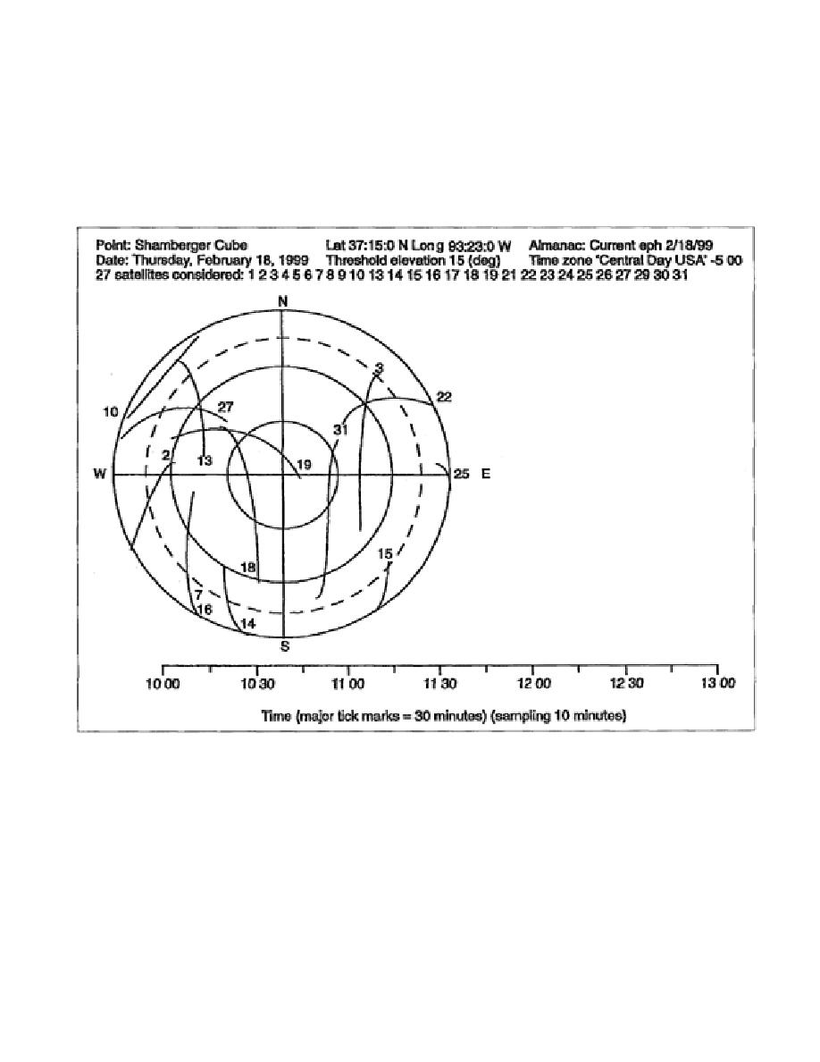
k. Determine a Suitable Site. A satellite sky plot (Figure 5-3) and a positional dilution of precision
(PDOP) versus time plot (Figure 5-4, page 5-24) may be run before a site recon. The output files
created by the satellite prediction software are used in determining if a site is suitable for GPS
surveying.
Figure 5-3. Sample Satellite Sky Plot
5-23
EN0593


 Previous Page
