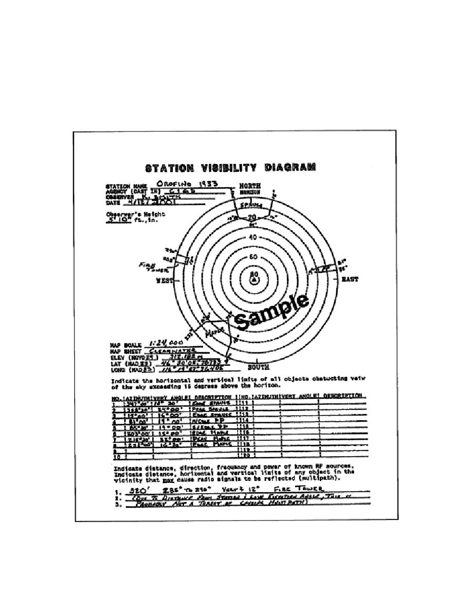
obstruction to determine if the multipath might be a problem. Site obstruction data are needed to
determine if the survey site is suitable for GPS surveying. Obstruction data should be plotted in a
station visibility diagram. GPS surveying requires that all stations have an unobstructed view 15^ above
the horizon. Satellites below 10^ should not be observed. A site reconnaissance report form may be
used in lieu of a standard field-survey book. A sample of obstruction data plotted in a station-visibility
diagram is shown in Figure 5-1.
Figure 5-1. Sample Station-Visibility Diagram
5-19
EN0593


 Previous Page
