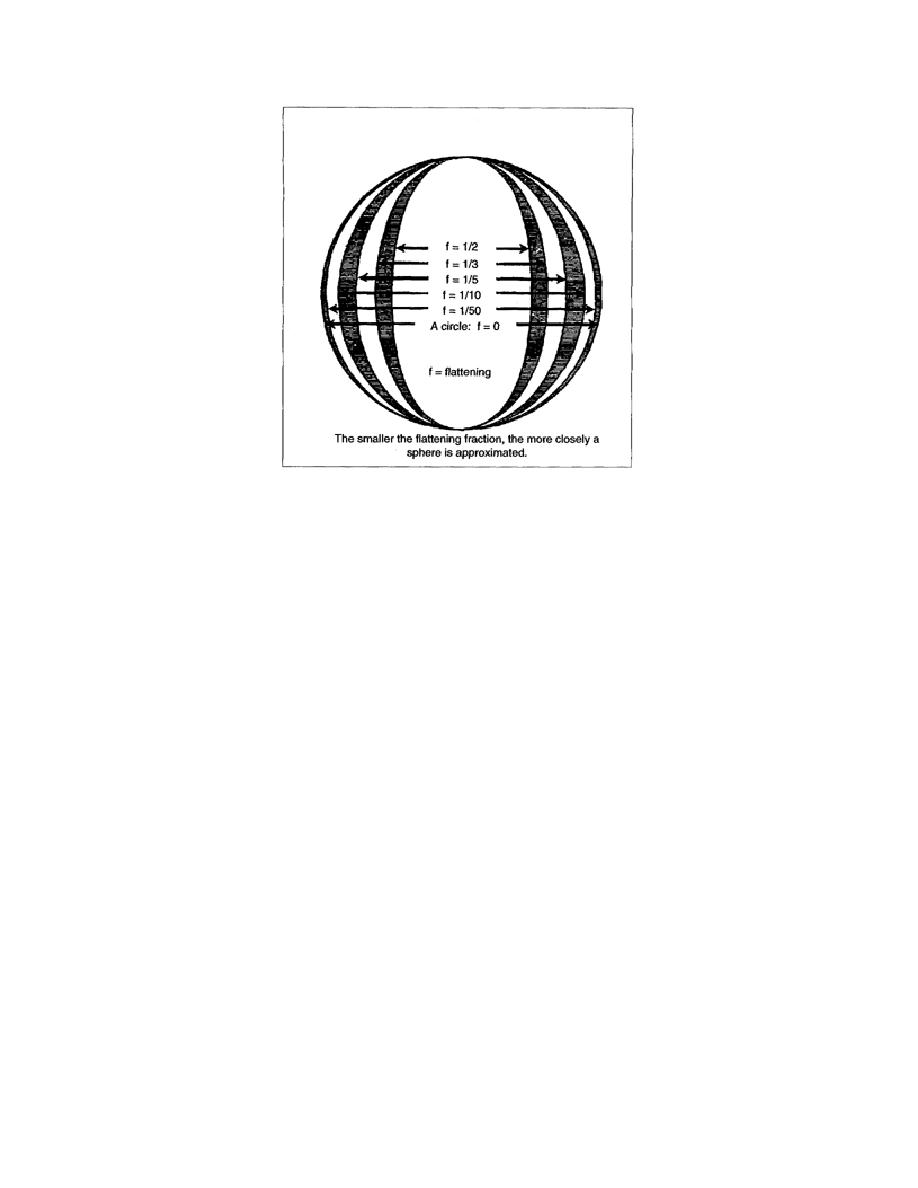
Figure 1-2. Flattening Fraction
a. Types of Ellipsoids. The two ellipsoids currently in use are named for the individuals who
derived them. The differences between the two types are very small; however, there are a great number
of ellipsoids actually in use. Generally, they describe or fit the portion of the earth where they are used.
(1) The international ellipsoid was developed by John F. Hayford in 1910 and adopted by the
International Union of Geodesy and Geophysics (IUGG), which recommended it for international use.
(2) The new international ellipsoid was developed by William M. Kaula in 1964 and adopted by
the IUGG, which recommended it for worldwide gravity surveys, updating of the World Geodetic
System (WGS) and scientific survey requirements.
b. Axis of Rotation. The axis of rotation of an ellipsoid is always parallel to the axis of rotation of
the earth. Ideally, the center of the ellipsoid should coincide with the earth's center of gravity. The
bubble level on a surveyor's instrument shows only the general direction of the earth's center of gravity.
The solution to this problem and its importance will be shown later. The ellipsoid is a reference surface
that has been selected as a mathematical convenience to represent the figure of the earth.
c. Geodetic Latitude and Longitude. Points on the ellipsoid can be defined in terms of latitude and
longitude. These coordinates are called geodetic latitude and longitude. These coordinates are the same
as those that appear on charts and maps. There is only one value of geodetic latitude and longitude,
which locate a single point to the ellipsoid.
EN0593
1-4


 Previous Page
