1-6.
Additional Information. A route reconnaissance overlay will also show the following
information, if applicable:
Curves having a radius equal to or less than 45 meters.
Slopes that have a percent of slope equal to or greater than 5 percent.
Reductions in the traveled-way width.
Overhead obstructions.
Bridges (to include bypasses).
Civil or military route designations.
Locations of fords, ferries, tunnels, and underpasses.
PART B OVERLAY SYMBOLS
Reconnaissance information is recorded using symbols. These symbols allow a maximum
amount of information on the overlay, while using a minimum amount of space. The
symbols used to represent information on an overlay are discussed below.
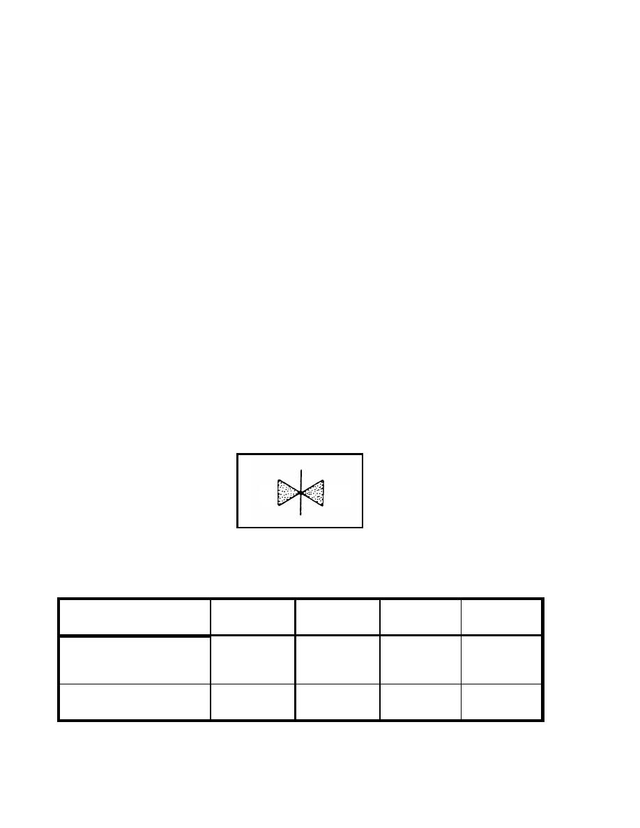
Constriction Symbol. This symbol (Figure 1-6) is used to indicate any reduction in
1-7.
the traveled-way width below the standards shown in Table 1-1. The number to the left of
the symbol indicates the traveled-way width at the constriction, and the number to the
right of the symbol indicates the length of the constriction.
4
120
Figure 1-6. Constriction Symbol
Table 1-1. Traveled-Way-Width Standards
Limited Access
Single Lane
Single Flow
Double Flow
Wheeled
<3.5 m
3.5 to <5.5 m
5.5 to <7.3 m
7.3 m
Tracked and combination
<4.0 m
4.0 to <6.0 m
6.0 to <8.0 m
8 m
EN 5621
1-4


 Previous Page
