Deliberate route reconnaissance is performed when enough time and qualified personnel
are available. It provides the necessary data for a thorough analysis and classification of
significant terrain features along a route. Information about repair or demolition
procedures is also reported. An overlay is used to show the exact location of each
reconnoitered terrain feature.
PART A ITEMS REQUIRED ON AN OVERLAY
A route reconnaissance overlay is an accurate and concise report of the conditions affecting
traffic flow along a specified route. Route reconnaissance overlays are required for both
hasty and deliberate reconnaissance. An overlay and a DA Form 1711-R will usually satisfy
the requirements of a hasty route reconnaissance. If more detail is required to support the
reconnaissance, the overlay is supplemented with written reports describing critical route
characteristics in more detail.
1-1.
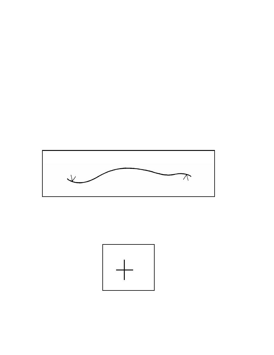
Drawn Route. An overlay is a concise drawing of a route and its characteristics.
When possible, it is prepared on transparent paper. The overlay shows the reconnoitered
route, drawn to scale. The "limit of sector" will be shown by using the limit-of-sector
symbols (Figure 1-1). Drawing the route to scale and showing the limits of sector will
identify the portion of the route that has been reconnoitered.
Figure 1-1. Route Drawn to Scale With Limit-of-Sector Symbols
1-2.
Grid Reference Points. To facilitate the replacing of the overlay, in relationship with
the map used to trace it, use grid reference lines. Trace the intersections of grid reference
lines from the map to the overlay. Identify the lines with the grid line numbers from the
map. There must be a minimum of two grid reference points on each overlay (Figure 1-2).
20
31
Figure 1-2. Grid Reference Points
EN 5621
1-2


 Previous Page
