surveying is done for the location and construction of highways, railroads, canals, and landing strips.
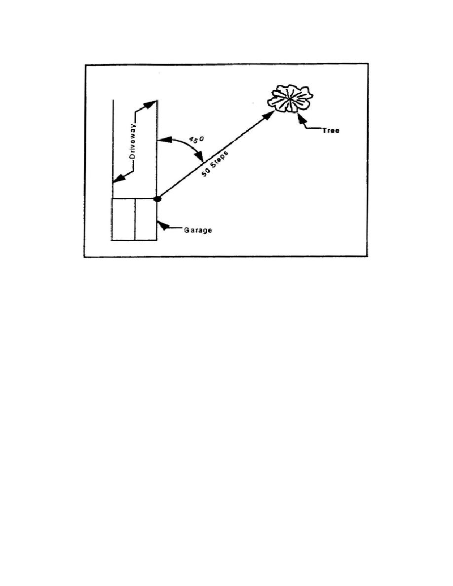
Figure 1-2. Distance and direction
Leveling operations are usually considered a part of plane surveying. The effect of the earth's curvature
is automatically taken into account when using standard procedures to determine elevations. Elevations
are referred to a certain datum, which is a plane tangent at any point of the earth's surface and normal to
the plumb line at that point. This datum is normally taken at an imaginary plane tangent to the surface
of mean sea level. Figure 1-3, page 1-6, illustrates the fact that when this datum plane is extended 10
miles out from the point of tangency, the vertical distance (elevation) of the plane above the surface
represented by mean sea level is 67 feet, and at a distance of 100 miles, this elevation becomes 6,670
feet. For this reason, the earth's curvature cannot be neglected as a factor in taking even rough
elevations. Later, you will learn the importance of maintaining, as much as possible, a balanced distance
between the foresight and backsight in leveling operations.
PART C - TERMINOLOGY
1-6. Surveying Terms. The following surveying terms are just a few of the technical terms that you
will be using. You will learn most of them in actual practice and through usage.
Angle of inclination-A vertical angle of elevation or depression.
Azimuth-The angle to a line of sight, measured clockwise from any meridian and range from 0
to 360€.
1-5
EN0591


 Previous Page
