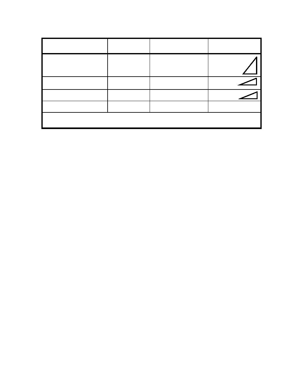
Table 1-3. Trafficability of Fords
Shallow, Fordable
Maximum Percent of
Type of Traffic
Minimum Width
1
Depth
Slope for Approaches
100%
1.0 m (39 in) (single file)
Foot
1.00 m (39 in)
1:1
2.0 m (79 in) (columns of 2)
33%
Trucks and truck-drawn artillery
0.75 m (30 in)
3.6 m (12 ft)
1:3
50%
Light tanks
1.00 m (39 in)
4.2 m (14 ft)
1:2
50%
2
Medium tanks
1.05 m (42 in)
4.2 m (14 ft)
1:2
1
Based on a hard, dry surface.
2
Depths up to 4.3 m can be negotiated with a deep-water fording kit.
e.
Seasonal limiting factors follow the stream velocity notation and are shown
by either an X or a Y:
X. No seasonal limitations except for sudden flooding of limited
duration (such as flash floods).
Y. Serious, regular, or recurrent flooding or snow blockage. If the Y
symbol is used, the route type in the route classification formula
automatically becomes Type Z.
f.
The length of the ford (in meters) is recorded to the extreme left and below
the arrow. The length is computed as the distance from the near shore to the far shore.
g.
The width of the ford (in meters) is placed after the length notation. The
width of the ford is the traveled-way width of the bottom. The nature of the bottom is
indicated by one of the following codes and is annotated after the width.
M = mud.
C = clay.
S = sand.
G = gravel.
R = rock.
P = artificial paving.
h.
The normal water depth at the deepest point (in meters) is placed below the
arrow, immediately after the symbol expressing the bottom type. During a hasty
reconnaissance, the actual water depth is used.
1-11
EN 5621


 Previous Page
