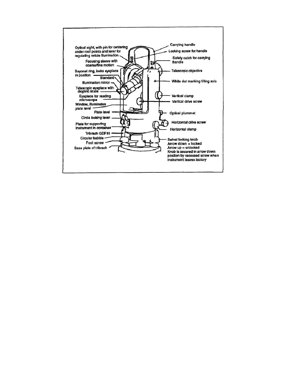
Figure 5-1. One-minute theodolite
b. Geodimeter. The geodimeter is an automated, integrated surveying instrument (AISI)
commonly referred to as a total station (see Figure 5-2, page 5-4). It combines a theodolite with an
electronic distance-measurement (EDM) instrument and an electronic data collector. The geodimeter
can measure angles up to one-second accuracy, distances (up to 3 kilometers) to the thousandths, and
elevations to the hundredths of a foot or meter. It has the capacity to store up to 6,000 points of
surveying information. It can operate up to eight hours continuously on the batteries provided, or a 12-
volt car battery can be used. The geodimeter comes with factory-set programs designed for standard
surveying operations and can be programmed for special surveying operations. The geodimeter is used
in conjunction with the civil software program Terramodel. This software accepts the downloaded
information from the geodimeter and allows rapid development of the surveying site by producing civil
engineering drawings.
5-3
EN0591


 Previous Page
